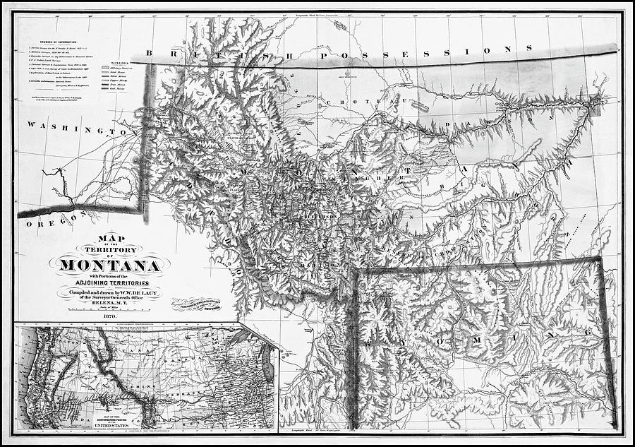
Antique Map Territory of Montana 1870 Black and White is a photograph by Carol Japp which was uploaded on November 10th, 2021.
Antique Map Territory of Montana 1870 Black and White
A vintage, historical map from the year 1870, of the Territory of Montana, with portions of the adjoining territories, showing Military Reserves and... more

by Carol Japp
Title
Antique Map Territory of Montana 1870 Black and White
Artist
Carol Japp
Medium
Photograph - Drawing Engraving
Description
A vintage, historical map from the year 1870, of the Territory of Montana, with portions of the adjoining territories, showing Military Reserves and the locations of Gold, Silver, Copper, Iron and Coal mines. This historical map from the public domain was compiled and drawn by W.W. Lacy of the Surveyor General's Office of Helena, Montana. This image has been restored and converted to black and white.
Uploaded
November 10th, 2021
More from Carol Japp
Comments
There are no comments for Antique Map Territory of Montana 1870 Black and White . Click here to post the first comment.


